We have many pre-populated plant and wildlife lists to choose from. In this article, you will learn the following:
Add a Taxon List to Your Form
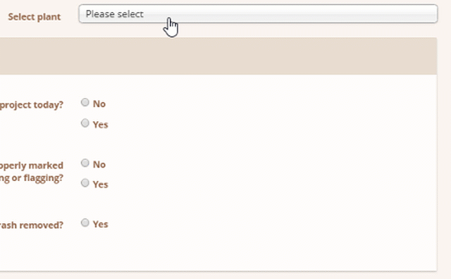
Taxonomy lists work like other selection list with the added benefit of having pre-made lists to choose from adding both speed and accuracy to your mobile worker's data collection. To add a taxon list to a form:
- Go to the PROJECT SETUP > FORM LIBRARY and click EDIT on the desired form.
- At the bottom of the form click ADD QUESTION.
- For the Question Type scroll down to the Taxon section and select either Taxon single select with search or Taxon multiple select with search.
- Click on Data Source to display the list of options and choose the list that you want to use.
- Enter your Question Text
- Click SAVE.
How Search Works on Mobile
One of the great benefits of the taxon lists is that when a user clicks on a list it auto-filters as they type. It doesn't matter if they start with the scientific name, common name, or symbol. The animation below demonstrates the auto-filtering. Here are more details on how Taxonomy Smart Search works.
How To Build Your Own Taxon List
Create your personalized species list from our database of over 500,000 entries. Need help? Our support team is ready to assist with large lists or species that are difficult to find.
Enhance your lists with custom metadata. Contact support to add specific details like local listing statuses for plants or animals in your county.
Let us know how we can help you build the perfect species list for your needs.
To create your own list:
- As a Company Admin or Project Admin, go to TAXON.

- Choose COMPANY TAXON LIST LIBRARY
- New Taxon List

- Name and SAVE your list

- Click ADD NEW TAXON TO THIS LIST and search for your desired species.

- SAVE
Species Specific Export Options with MetaData
- Species List Export
This export produces a tabular excel export that lists all species included in the project that meet the reporting parameters. You can filter by Survey ID or by Forms and Date Range. All reports come with Scientific Name, Common Name, Symbol, Count, Family, Growth Habit, and Native/Invasive/Indicator Status for plants. You customize additional listing statuses to include. In addition, if your form contains multiple species questions, you can tag the questions you want to limit the data to and filter by that tag. NOTE: You must select your State and Wetland Region in order to get accurate results.
- Tabular
This export produces a tabular excel export that contains all of your Survey Data with the option to include additional plant meta data including native, invasive and indicator status.
- Success Criteria
The Success Criteria is a powerful tabular excel export with a flexible reporting framework based on the tagged RES-01 Vegetation Monitoring Survey Form found in the Wildnote Library. This export collates vegetation data according to growth type such as woody and herbaceous and includes scientific and common name, indicator status, native status, and invasive/nuisance details for each plant.
- Taxa Gallery
The Taxa Gallery, while not an export, allows you to view all taxon within a project quickly and easily. You can export your taxonomy data directly from the Taxa Gallery view.
How to See Available Species Lists and Individual Species
If you are a Company Administrator and Project Administrator, you can look up species lists, species, and species meta data in the web app. You’ll find the link to the right of the Projects link.
